Les Îles, from the PalaFENT car park


Edited by:
Massimo Martini
Updated at: 16/06/2026
Access
Road directions
At the Nus motorway junction [A5], continue for 220m (0.2km). At the roundabout, take the first exit and join the Fénis Regional Road, continuing for 600 m (0.8 km). At the next roundabout, take the third exit and join the towards Aosta (0.9 km). Continue on the for 3.0 km (3.9 km). At the roundabout, take the first exit to stay on the and continue for 1.0 km (4.9 km). At the next roundabout, take the second exit to stay on the and continue for 700m (5.6km). At the roundabout, take the third exit onto the and drive 220m (5.8km) to the car park on the left.
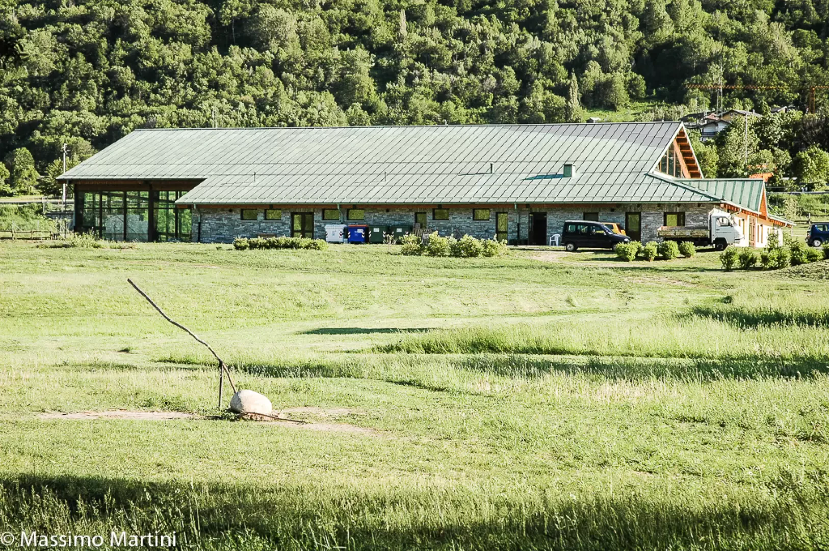
Car park
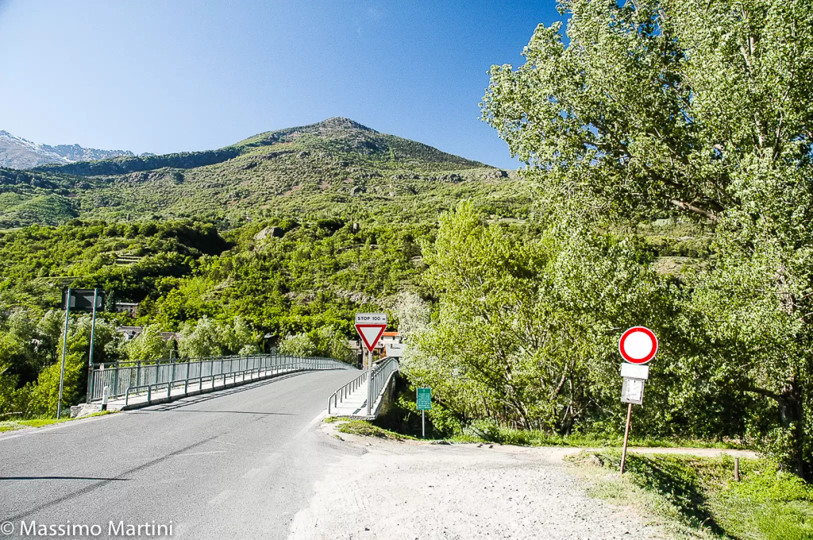
The free 🅿️ PalaFent car park is on the left along the , just after the bridge over the Dora Baltea. This is the starting point of the route.
Access by public transport
Brissogne is served by public transport 🚌 via the SVAP Line 1 (Aosta – Brissogne). For up-to-date timetables, see www.svap.it.
Distance and journey time
🕒 Journey time: 7 minutes
📏 Distance: 5.8 km
GPS navigation
Important information
The directions provided were verified on the date the route was mapped. Before setting off, we recommend checking for any changes to the route or road conditions. For up-to-date information, please consult Google Maps or Apple Maps.
Introduction
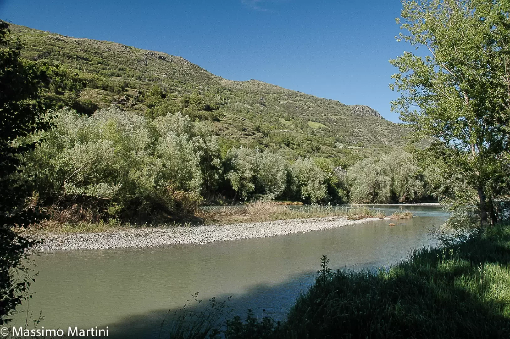
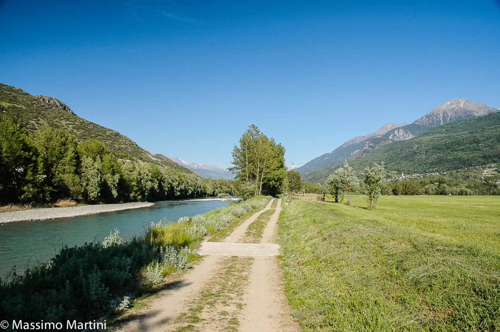
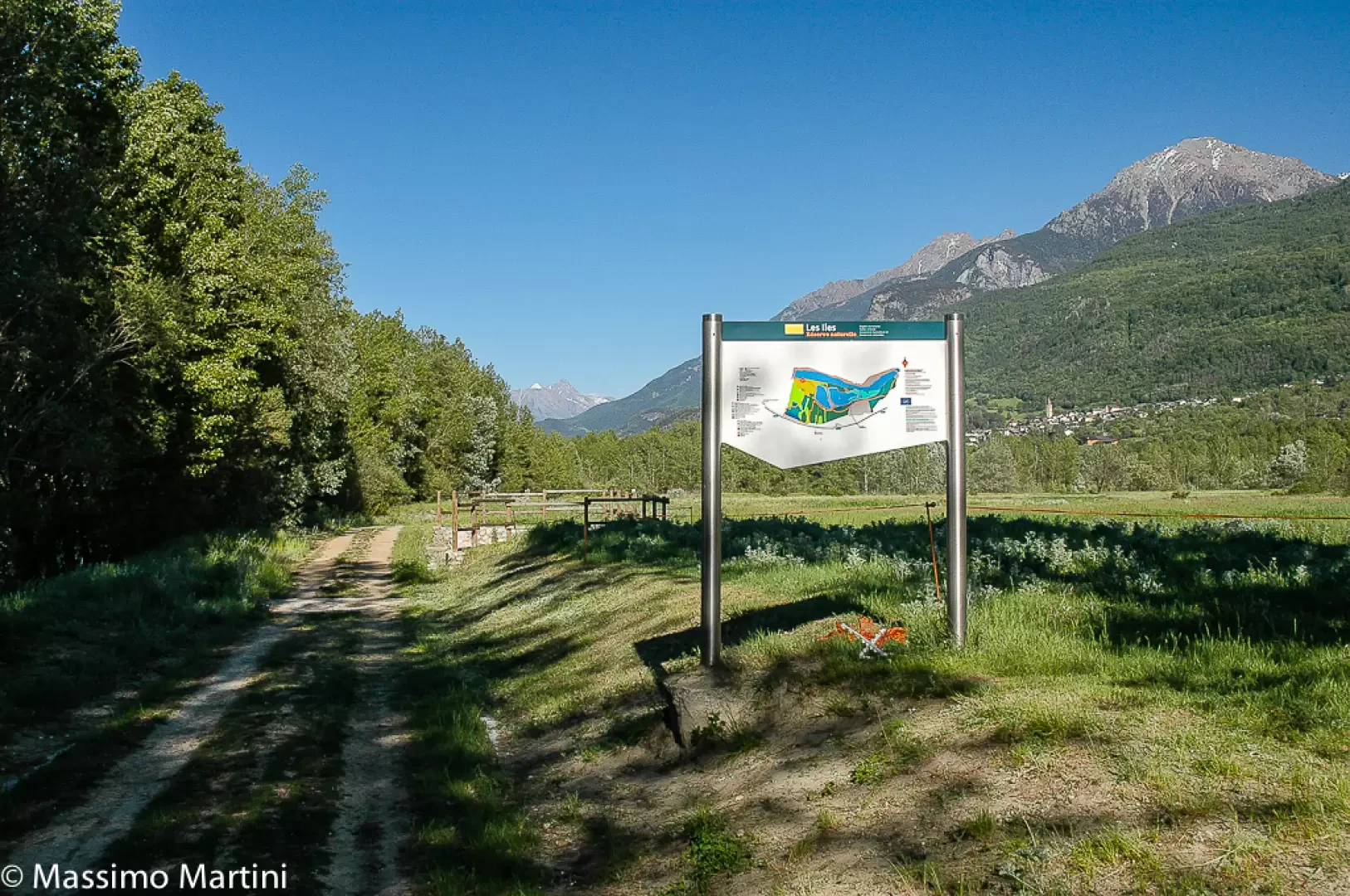
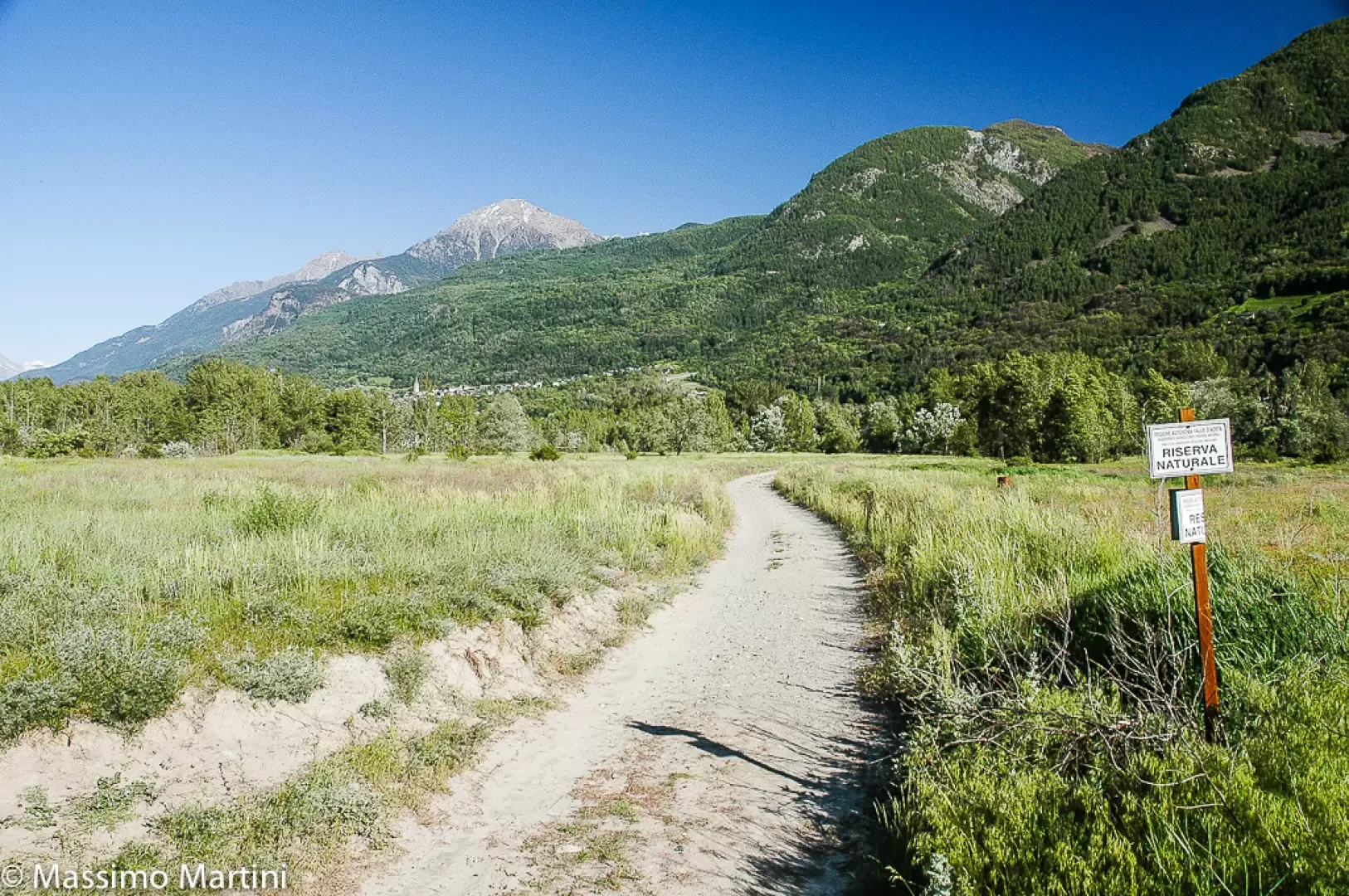
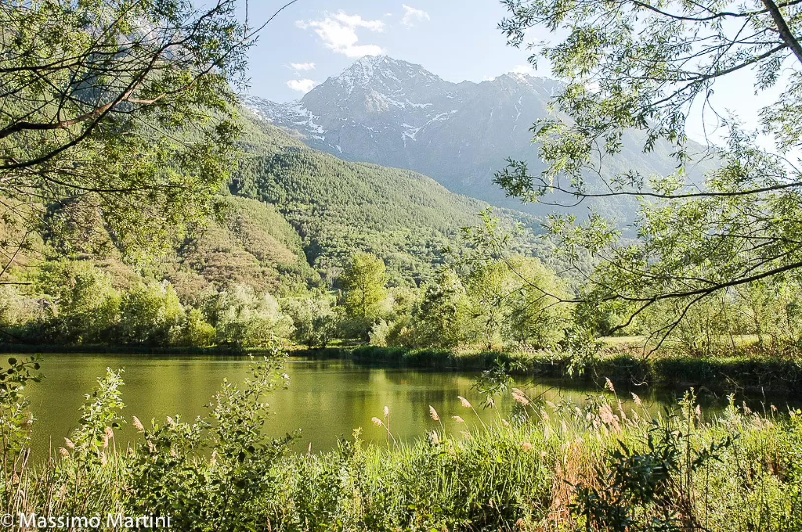
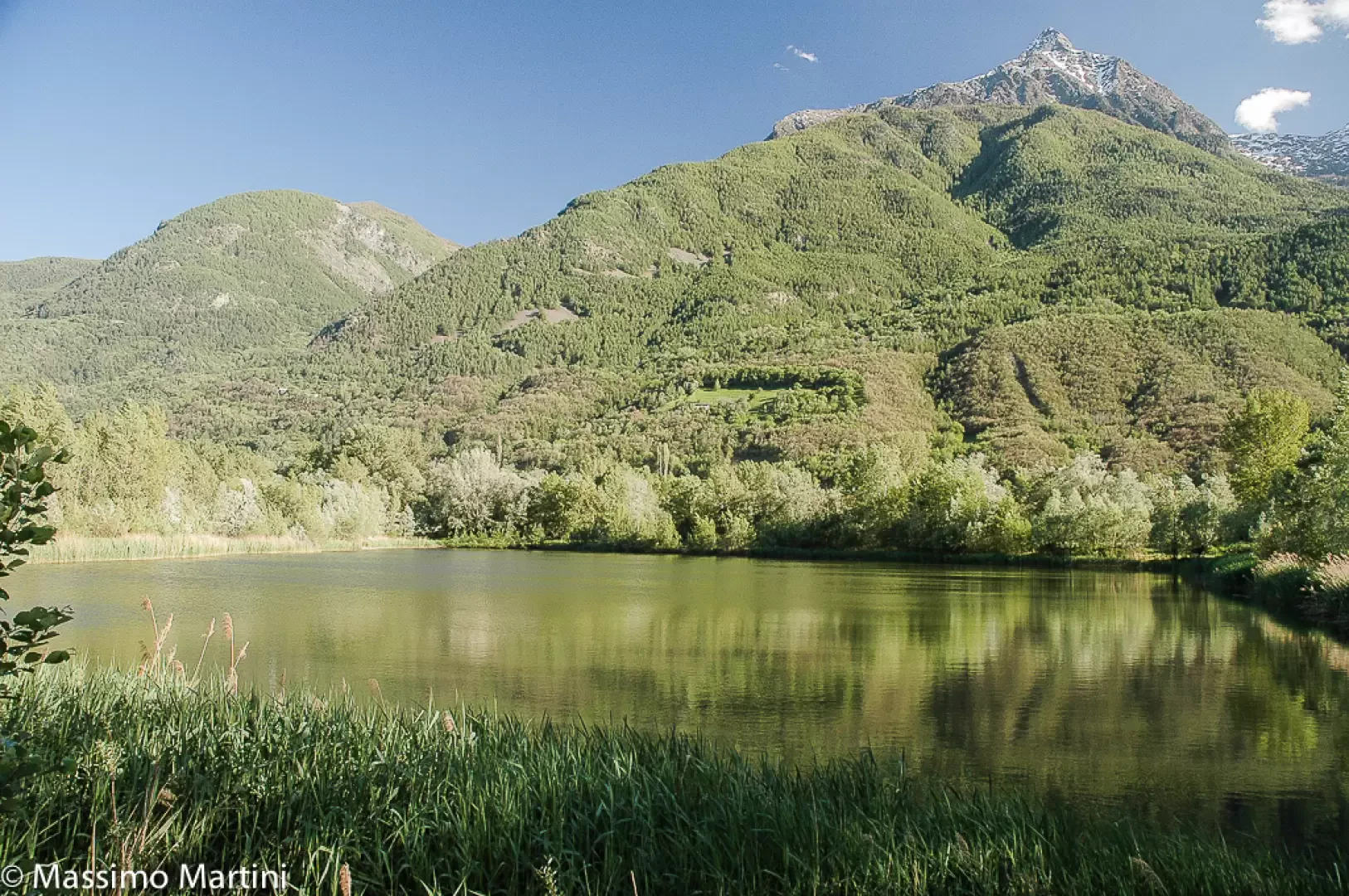
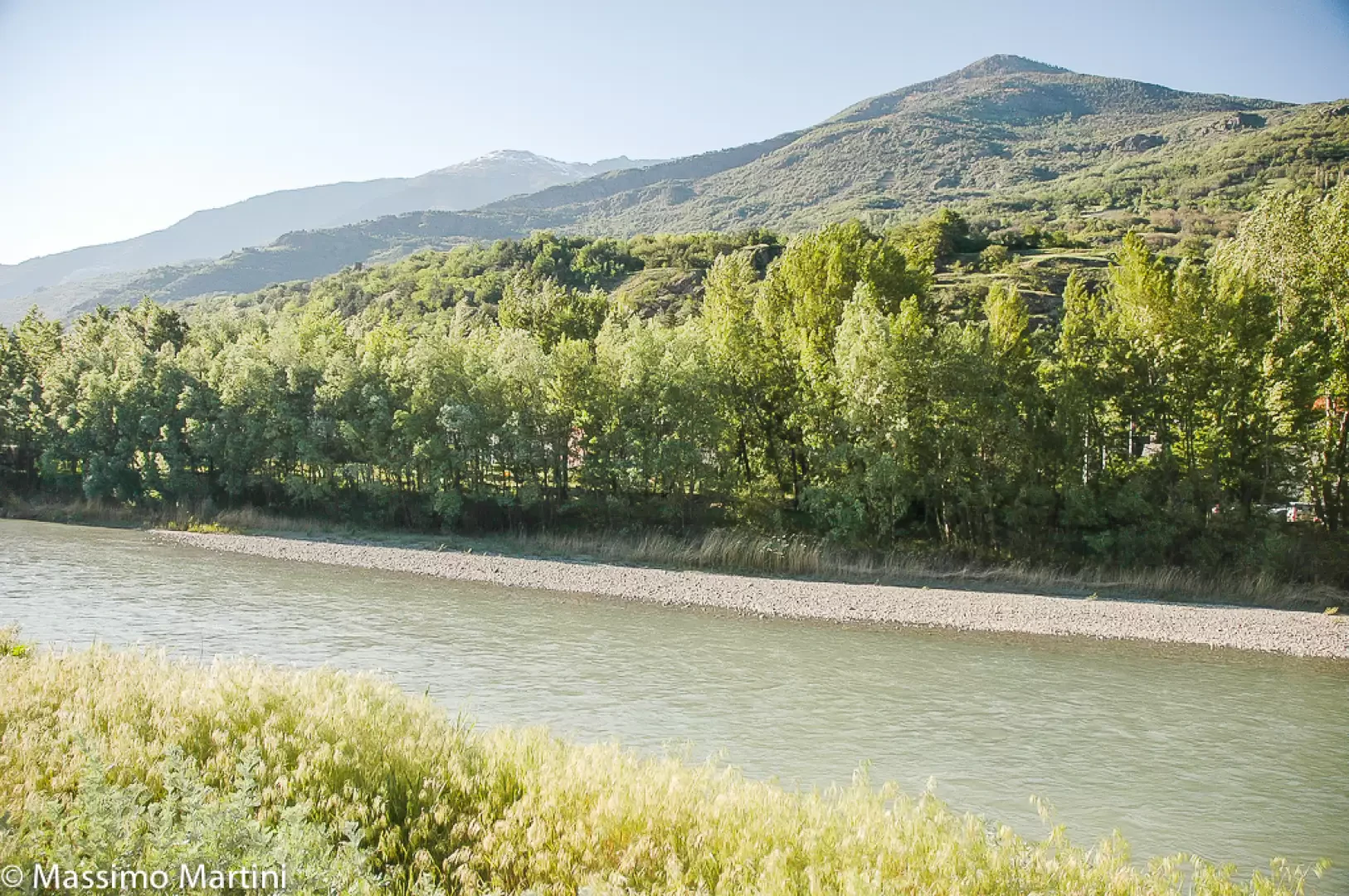
A circular route, entirely flat, which follows the perimeter of the Les Îles Nature Reserve along the right bank of the Dora Baltea, in the municipalities of Brissogne, Saint-Marcel, Quart and Nus. The heart of the route consists of two small lakes in a former quarry that have now been renaturalised, surrounded by a hygrophilous woodland of willow and black poplar: one of the last remaining habitats of this kind in the entire Aosta Valley.
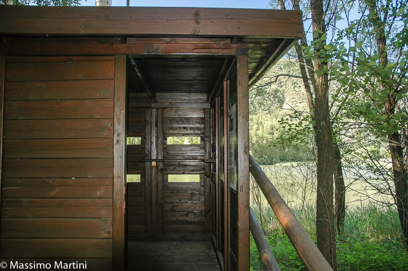
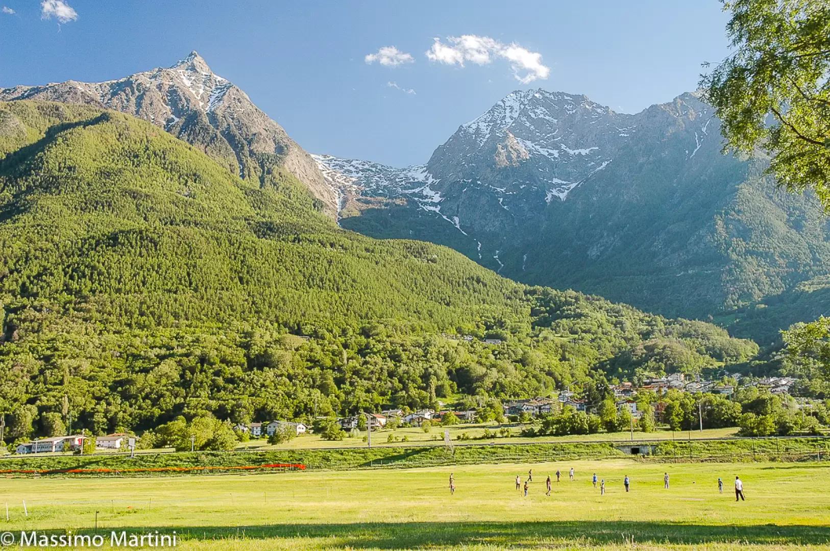
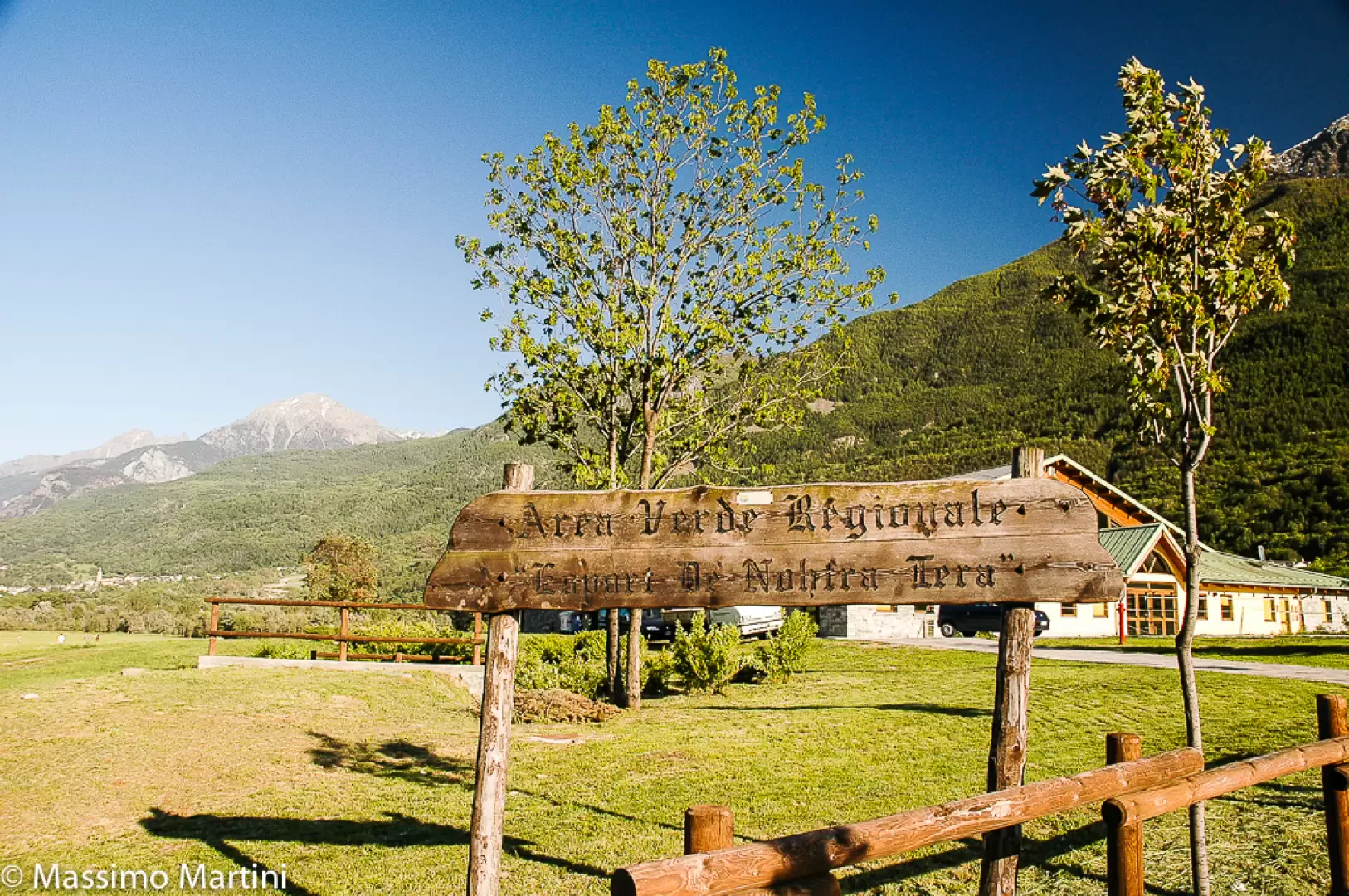
The reserve, established in 1995, is the region’s main stopover and feeding site for migratory birds. The shores regularly host grey herons, grebes, coots and mallards; during migration periods, sightings of species rare to the region are not uncommon. A wooden hut on the edge of the second pond allows for observation without disturbing the wildlife. Before reaching the reserve, the route passes through the fields used for the "Esport de Nohtra Tera", the traditional sports practised in the Aosta Valley patois.
The best times to visit are spring, when the spring migration brings the number of sightings to its peak, and autumn. The low altitude and the lack of elevation gain make the route suitable for walking at almost any time of year. It presents no technical difficulties and is accessible to walkers of all abilities.
Description
0h00' 0.00 km From the car park, head to the bridge over the Dora Baltea and take the narrow farm track that branches off to the right of the bridge, descending briefly to the riverbed. Head east along a long, straight stretch through the fields of ‘Esport de Nohtra Tera’. Continue to the signpost marking the start of the Nature Reserve and carry on for a short distance until you reach a fork in the path.
0h16' 0.89km Follow the track on the right towards Pointe de Charmontane; you will soon reach the first of the reserve’s two lakes, flanked by benches. After a slight turn to the right as you approach Becca Salé, turn left and follow the edge of the first lake. Cross the woodland of willows (Salix sp.) and black poplars (Populus nigra), proceeding quietly so as not to disturb the reserve's birdlife: grey heron (Ardea cinerea), great crested grebe (Podiceps cristatus), coot (Fulica atra) and mallard (Anas platyrhynchos). At a second information board and a fork in the path, continue straight on towards the observation hut at the edge of the second lake (516m).
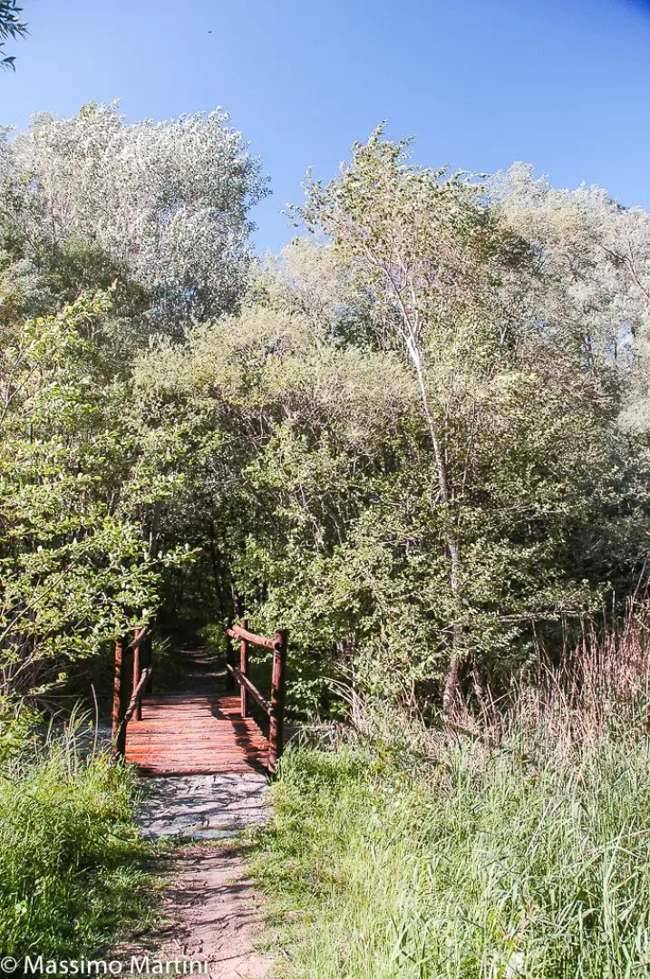
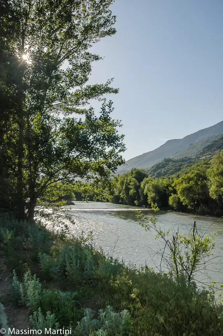
0h30' 1.69 km Follow the perimeter of the second lake until you reach the bank of the stream flowing down from the Saint-Marcel valley. In the woods, which are becoming denser, cross a small stream via a wooden footbridge and reach the bank of the Dora Baltea.
0h47' 2.59 km Turn left and follow the path westwards, skirting the two lakes in the nature reserve until you join the farm track taken at the start of the route. Continue along the Dora Baltea to the starting point (531m) 1h00' 3.29km .
Places of Interest
Collections
Photo gallery

Comments (0)
Sign in to leave a comment